Hike Alamere Falls, California and find the gorgeous waterfall that crashes onto Wildcat Beach in the Point Reyes National Seashore in the Phillip Burton Wilderness of Northern California.
The 40 foot cliff of cascading water is the reward for the spectacular 6.5 mile hike starting at the Palomarin Trailhead.
The Alamere Falls trail starts in Bolinas, just 34 miles from San Francisco and just 18 miles from Point Reyes Station.
Plan a full day to hike to Alamere Falls, California. You won’t be sorry!
Is the hike to Alamere Falls worth it?
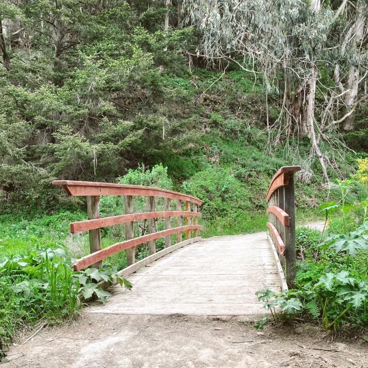
When you hike Alamere Falls, California, the trail will take you along a coastal cliff, down to the valley floor, past lakes, through the forest, and back up to incredible views.
All this is before you even get to the beach and the Alamere Waterfall! It’s quite the adventure, but not really that strenuous of a hike!
This is a 13 mile round trip hike that is worth every step!

How to hike to Alamere Falls
I recommend parking and starting your hike by 6:30 AM. This way, you’ll get a parking spot and have some quiet trail time, not to mention a less crowded beach and Falls experience.
1. Start at the Palomarin trailhead.
2. Follow trail signs to the right, onto the Coast Trail.
3. Follow signs to Wildcat Campground. This is a 5.5 mile hike.
4. From Widcat Campground, descend to the beach.
5. Walk 1.1 miles south to Alamere Falls.


Is there a shortcut to Alamere Falls?
NO there is not!
The park service asks that you stay on the trails at all times.
There is NOT an official “Alamere Falls Trail” or a sanctioned shortcut to the top of the falls.
You may see a circle and arrow made from sticks pointing to a spot where people veere off the trail and have created a “shortcut.”
The park service asks that you not do this.
It’s frowned upon because of eroding cliffs, poison oak, ticks, people getting injured and requiring search and rescue, and probably a myriad of other reasons why the park service specifically has not groomed a path there.


Can you climb to the top of Alamere Falls?
Yes, you can but no, you shouldn’t.
Unaware that the trail from the beach to the top of the Falls was not sanctioned, we joined the trend of people climbing up the side of the Falls on our way back.
It’s a very steep incline, with cascading sand and rocks.
I could definitely see how people easily get hurt and how the foot traffic is eroding the terrain. It’s not a groomed trail!
It leads to the top of the falls, which is quite special, but it’s clear why it’s not approved.
That adventure led to an unmarked trail which eventually got us back to the Coast Trail, just by pure luck.

When is the best time to hike to
Alamere Falls?
Springtime is the best time to go to see Alamere Falls flowing heavily and for a full wildflower extravaganza!
If there has been a lot of rain, you might not want to be hiking in the mud, so check the current conditions on All Trails.
There’s a fair amount of shade along the trail, so you’ll be OK in the summer too.
Where to Park for the
Alamere Falls Hike
Put the Palomarin Trailhead in your GPS.
The Palomarin parking area, open 6AM – Midnight, is probably the most popular place to start the hike.
Arrive early, really early, (by 6:30 AM) especially if you are going on the weekend.
The parking area is approximately five miles northwest of Bolinas on Mesa Road. The last 1.2 miles of Mesa Road are unpaved, so be prepared for a bumpy ride.
*You’ll be turned away if the lot is full.
It’s another 35 to 45 minute drive to Bear Valley or Five Brooks trailheads.
Tips for hiking to Alamere Falls
~ PRINT OUT THE MAP before you go. You’ll lose cell service and you should always have a trail map with you!
~ You can download it from the National Seashore website
~ Bring plenty of water and picnic lunch for the beach.
~ Wear layers. Bay Area microclimates are no joke! You may have some chilly morning fog and then some early morning sun.
~ Sneakers are fine, serious hiking boots are not necessary.


Is the hike to Alamere Falls hard?
This trails on this hike are wide, well groomed, and pretty flat until you descend to the beach. The only climb is when you return from the falls to get back on the trail.
Some consider this a hard hike because it is a 13 mile round trip, but not becasue it is too challenging or strenuous.


Some of my other favorite Bay Area Hikes that you might enjoy:
Now you are ready to take the epic hike to Alamere Falls!
In a nutshell…
The hike to Alamere Falls is a stunning and special Bay Area experience. From the flowers to the views and the lovely trail all the way to the ocean, it’s a full day seeing the best that Northern California has to offer.
Make a plan to take this hike with a friend and you’ll have one of those memorable and awesome days!
xx,
Carrie
Carrie Green Zinn is the owner and author of Carrie Green Zinn – A Travel Blog, which helps travelers become inspired to explore and step out of their comfort zones. Carrie focuses on family vacations, empty nest travel, and girlfriend getaways. Her work is informed by her life as a former dancer, therapist, and school psychologist. She brings her passion for writing, photography, and making the world a smaller place to her ever growing blogging audience.


